Updated Story, July 31, 12:30 p.m.
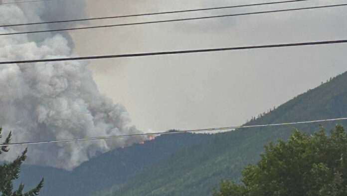
The MacLeod Creek wildfire, located about eight kilometres north of Nakusp, has grown to 120 hectares.
An update posted at 11:52 a.m. on the B.C. Wildfire Service website said the fire, discovered at 9:15 p.m. on July 30, is believed to have been caused by lightning.
At 8 a.m. today, the blaze was estimated at just 0.009 hectares – meaning it expanded by nearly 120 hectares in just over three and a half hours.
The wildfire remains classified as out of control.
No area restrictions have been imposed yet.
More updates to come.
Original Story, July 30 at 10:00 p.m.
Wildfire Services are responding to the MacLeod Creek wildfire, located approximately eight kilometres north of Nakusp on the east side of Highway 23, that was discovered at 9:16 p.m. July 30.
“We don’t have a confirmed accurate size at this time. Wildfire crews and a response officer are currently en-route to Nakusp.” said B.C. Wildfire Services.
For more information, visit the incident details page here, https://wildfiresituation.nrs.gov.bc.ca/incidents…
We will bring you more information as it comes in.
Be the first to know! Don’t miss out on breaking news and daily updates in your area. Sign up to MyNelsonNowNews Alerts.


