The Regional District of Central Kootenay says with a significant amount of mountain snow pack still remaining, we can expect freshet season to be extended to late July.
The RDCK says the snow pack in the West Kootenay is sitting at 215 per cent of normal, which means a continued high risk of flooding from snowmelt, especially combined with heavy rain.
The snow pack is snow on the ground in the mountains that remains warmer weather arrives. Across the province the average snow pack is 198 per cent of normal.
Typically by this time of year, three quarters of the accumulated snow pack has melted. But due to the abnormally cooler temperatures throughout April and May it has been delayed.
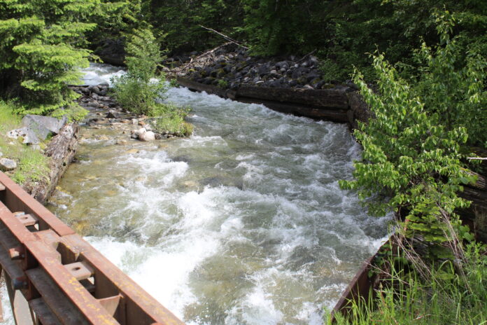
The West Kootenay remains under a high streamflow advisory, although this week the BC River Forecast Centre downgraded the advisory from a flood watch.
The RDCK says most rivers, streams and creeks have risen to normal or above normal levels and are extremely vulnerable to heavy rain.
Kootenay Lake is currently at 1,751.45 feet (533.84 metres) at Queens Bay. FortisBC says the lake level still has the potential to exceed the flood point of 1,752 feet.
Environment Canada forecasts unsettled weather conditions throughout the region over the next week with no sign of extended heat. However, the RDCK says a significant change in the forecast or thunderstorms along with heavy rainfall could result in localized floods.
There are currently no evacuation alerts or orders in the region. On Tuesday, the RDCK removed the evacuation alert for Six Mile, as the risk of damage to the Duhamel Creek orphan dike structure has diminished.
An evacuation alert for 10 properties on Johnson Flats in rural Grand Forks was rescinded on Friday for a second time.


